Counting
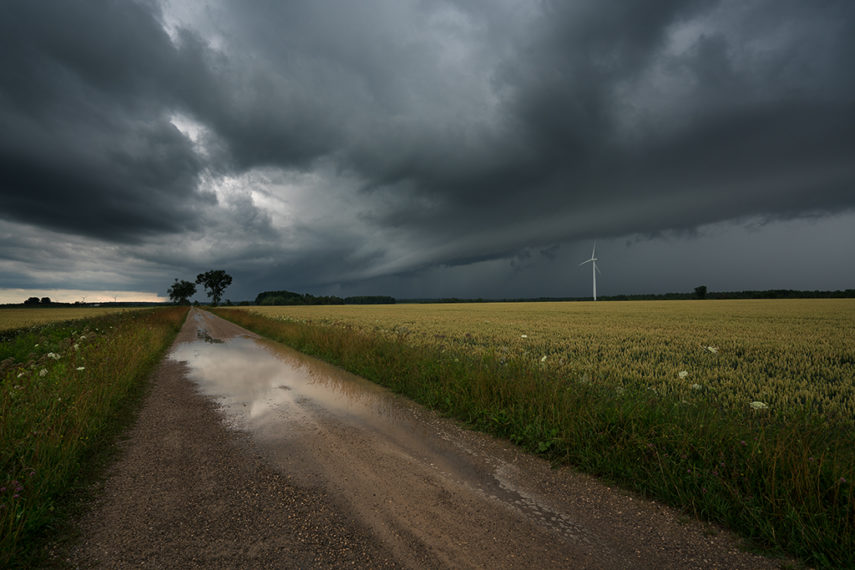
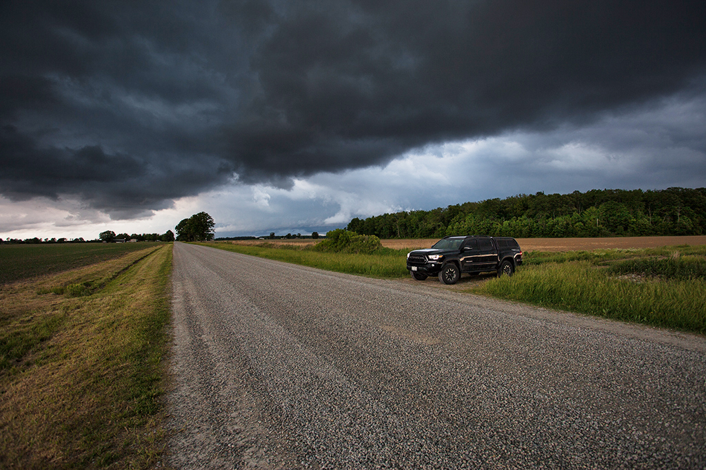
Well, July is proving to be THE month for severe storms in Ontario this year. The month isn’t over yet and we already have fourteen confirmed tornadoes*. June and July of last year (2020) saw fourteen and twelve respectively, as well. Some big numbers for a single month in Ontario. Before the Northern Tornadoes Project (NTP) being carried out by some of the folks at Western University (in London, Ontario) the annual average for documented tornadoes in the province was approximately twelve to thirteen. So why the jump in tornado numbers in the last few years? The most likely reason…eyes on the skies. And, on the ground.
In the past, there were probably many tornadoes that went undocumented every year for a number of reasons – remoteness of geography and a lack of eyes looking to name a couple. The increased availability of technology like satellites, drones, better radar tools, weather applications for smartphones and their associated content, along with the increased number of people specifically looking for and reporting on severe weather events, has meant more investigation work for the folks at NTP. The public at large, including a broader monitoring/reporting community via social platforms like Twitter, are playing a role in locating and confirming more tornadoes now that may have gone undocumented in the past.
Some fascinating science and citizen science at work.
* for the purposes here, we’re talking about land-based tornadoes only.
No Comments